On the second day of its mission, on December 5 at 10:38 UTC, student satellite PW-Sat2 entered the field of vision of the ground station in Warsaw. The operators sent a command ordering the satellite to take a photo. This photo will go down in history as the first Polish satellite image. It is not the first Polish photograph of the Earth taken in orbit – that title belongs to a photo taken with a manual camera by Brig. Gen. Mirosław Hermaszewski, a Polish cosmonaut. Thus, it is the first Polish photo of the Earth made by a Polish artificial satellite.

The first Polish satellite photo of the Earth taken by PW-Sat2 satellite on December 5, 2018 ca. 10:40 UTC over Europe (CC-BY-SA 4.0)
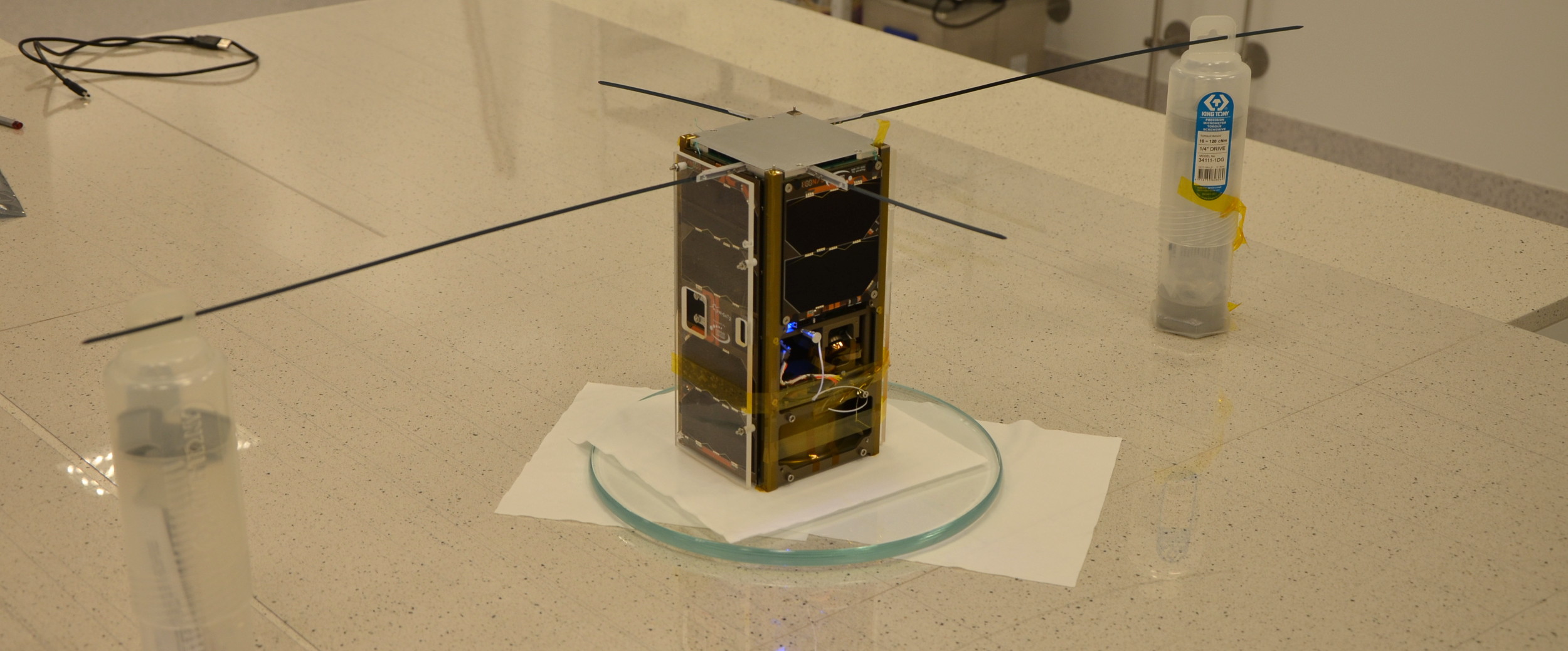
The initial phase of PW-Sat2’s mission has concluded successfully. The satellite, which was launched into orbit on board a Falcon 9 rocket from Vandenberg base on December 3, 2018, is working correctly and continuously transmitting telemetry data. Visualized readouts are available in an app created together with SoftwareMill at radio.pw-sat.pl.
Just a couple hours after the delivery of PW-Sat2 to orbit we were able to establish radio contact with the satellite. Around 10 a.m. local Warsaw time on December 4, 2018 the device responded to a command from the Earth for the first time and during the last couple of days we have already conducted 16 communication sessions, fully completing our plan. Yesterday the satellite sent to Earth the first photographs taken with one of the cameras on board. The images were received by ground stations in Warsaw at the Faculty of Electronics and Information Technology, in Gliwice at Future Processing headquarters and by radio amateurs who upload received data at radio.pw-sat.pl.
The first photo in two resolutions (160×128 pixels and 320×240 pixels) was sent during the eleventh communication session on December 5. It was taken around 10:40 UTC the same day over Poland. On the next day during subsequent sessions the same image was successfully downloaded at 640×480 resolution – the highest the cameras on board the PW-Sat2 satellite have to offer. Due to power and bandwidth limitations, sending even such a low quality (for Earth standards) picture requires multiple contacts with the ground station, each of which lasts for maximum 10 minutes. Currently, the satellite makes up to six such passages over Poland a day. With each passage, a new piece of this historic photo was received.

Image from weather satellites showing the cloud cover over Europe during PW-Sat2’s passage (left), compared with the photo received from PW-Sat2 (right). Cloud cover photo by sat24.com/EUMETSAT/Met Office
The photo was taken when the satellite was located over the Dutch coast. Southern Sweden, a thick cloud layer over Norway, a significant part of the North Sea and some of the Baltic Sea are all visible. One of the corners shows the polar circle at night. In the upper-right corner, a small triangle which is part of the satellite’s structure is visible. It is worth noting that the cameras on board PW-Sat2 were not intended to observe the Earth. Their main task is to verify the deployment of the deorbit sail at the end of the mission. For this reason, the cameras are placed at an angle to the satellite’s sides and part of the device is in their field of vision.
In the upcoming days, the PW-Sat2 satellite will be performing tests of the Sun sensor. After 40 days, in mid-January, the deployment of the deorbit sail will occur.
Translated by Krzysztof Zając, thanks a lot!